
Breezy, Storm-Prone Start to the Week on the Treasure Coast
East winds build through Monday afternoon; 40% rain chance lingers into Tuesday before pattern eases Wednesday
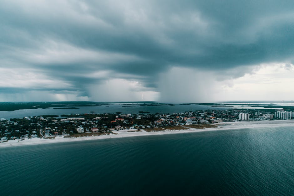
TODAY: Partly sunny with a 40% chance of afternoon and evening showers and thunderstorms. Storms could fire as early as late morning before a second, stronger round develops near sunset. Breezy. High in the mid-80s. East winds 10–15 mph, climbing to 15–20 mph by late afternoon.
TONIGHT: Partly cloudy. A 40% chance of showers continues overnight, with a slight chance of thunderstorms lingering into the early hours. Low in the upper 70s. East winds 10–15 mph.
THIS WEEK: Tuesday mirrors Monday — partly sunny skies, mid-80s, gusts up to 25 mph, and another 40% shot at afternoon and evening storms, the National Weather Service said. Tuesday night brings welcome relief: mostly clear skies and only a 20% rain chance as winds back down to 5–10 mph after midnight. Wednesday quiets further, with a slight 20% chance of late-morning showers and highs in the mid-80s. This week's persistent east wind pattern is running stronger than the same mid-May stretch last year, when sea breezes were lighter and afternoon storms less organized, forecasters said.
ON THE WATER: Boaters should plan around the window. East winds of 10–15 mph will keep near-shore chop manageable through mid-morning, but conditions deteriorate quickly as gusts build toward 20 mph by afternoon. Small-craft operators should be back at the dock or in protected water before 2 p.m. Monday and Tuesday. Tuesday's gusts to 25 mph merit extra caution for vessels under 25 feet. Wave heights on the nearshore Atlantic will run 2–4 feet both days, according to NWS data. The morning bite along the Fort Pierce Inlet south jetty looks promising — snook and tarpon are staging in the inlet mouth this time of year, and the east push will stack glass minnows against the rocks before 8 a.m., making a live-bait presentation on a light jig the play before the chop builds.
ALERTS: No active NWS watches, warnings, or advisories are in effect for Martin, St. Lucie, or Indian River counties at this time. Conditions remain within normal early rainy-season parameters. Residents should monitor forecasts throughout the week, as the pattern could produce brief heavy rainfall with any organized storm cell, the National Weather Service said.
This article was generated with AI assistance using publicly available information. It was reviewed and approved by a human editor before publication. TC Sentinel uses AI writing tools in accordance with FTC guidelines.
Got a tip?
See something newsworthy? Help us cover the Treasure Coast.
Your identity is never published without your permission.

Comments
Be the first to comment.