
Heat Building on the Treasure Coast This Weekend, With Storms Possible Sunday
Heat index values could reach 102°F by Sunday — a notable early-season surge ahead of the official start of summer
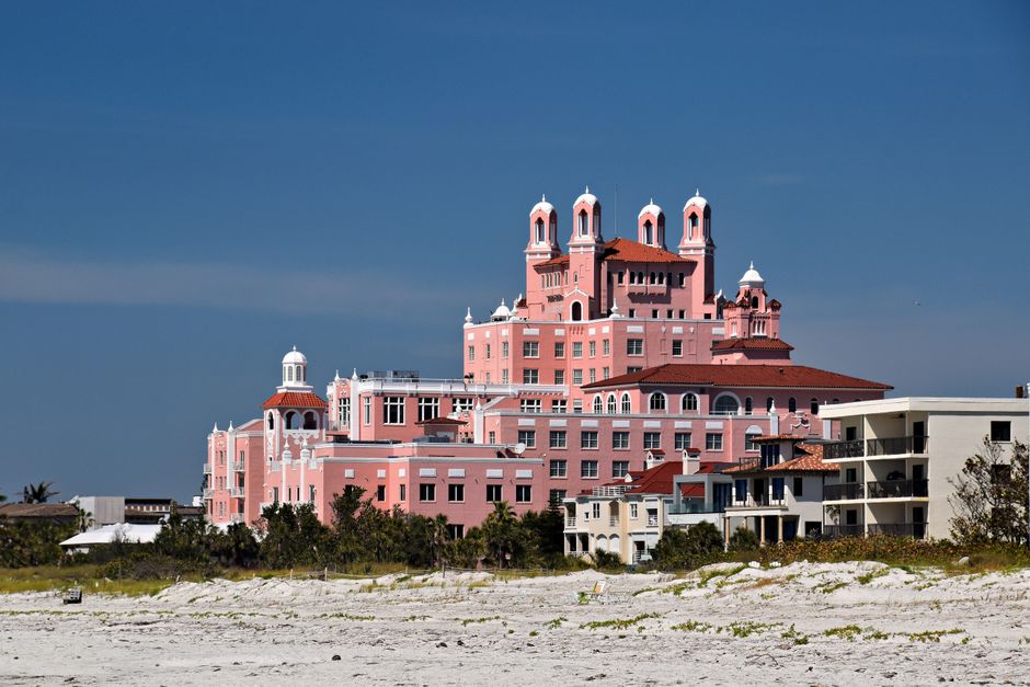
TODAY: Mostly sunny with a pleasant start before afternoon winds shift east at 10 to 15 mph off the water. High in the upper 80s. No rain expected — a clean beach day or a good window for an early-morning pour on the job site.
TONIGHT: Partly cloudy and mild. Low in the mid-70s. Southeast winds at five to 10 mph make for comfortable sleeping with the windows open — or a calm evening on the dock.
THIS WEEK: The heat ratchets up fast. Saturday delivers partly sunny skies and a high in the lower 90s, with south winds picking up to 10 to 15 mph by late afternoon. The real story is the heat index: forecasters expect it to hit 101 degrees Saturday — the kind of number that grounds youth sports and pushes construction crews to early starts. Sunday presses even harder, with a heat index up to 102 degrees and a 40% chance of afternoon showers and thunderstorms developing late. This marks a meaningful early-May surge. Last week's stretch of manageable highs in the mid-80s is over. Concrete pours, outdoor events and boat charters should plan around a Sunday afternoon thunderstorm window.
ON THE WATER: Friday's north wind at five to 10 mph shifts east by late afternoon — a favorable transition for anglers running inshore. Saturday's south-southeast flow at 10 to 15 mph will build some chop by afternoon; morning remains the better window offshore and along the nearshore reefs. By Sunday, the same afternoon sea breeze that triggers thunderstorms will kick up confused short-period swells — experienced captains should be back at the dock before 2 p.m. The inlet at Fort Pierce and the St. Lucie River mouth will see brisk outgoing tides Sunday morning, concentrating snook near structure ahead of the storm activity.
ALERTS: No active National Weather Service watches, warnings or advisories are in effect for the Treasure Coast at this time. Monitor conditions Sunday as storm potential increases through the afternoon hours, the National Weather Service said.
This article was generated with AI assistance using publicly available information. It was reviewed and approved by a human editor before publication. TC Sentinel uses AI writing tools in accordance with FTC guidelines.
Got a tip?
See something newsworthy? Help us cover the Treasure Coast.
Your identity is never published without your permission.

Comments
Be the first to comment.