Hurricane Cone Gets Redesign to Flag Inland Flood Dangers Before 2026 Season
The iconic "cone of uncertainty" is being overhauled — a change with direct implications for Treasure Coast residents far from the shoreline
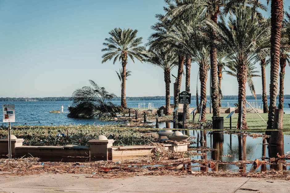
For decades, the hurricane cone has been the image every Floridian dreads: that widening funnel of uncertainty tracking a storm toward the coast. But the graphic has a dangerous blind spot — it says almost nothing about what happens once a storm moves inland, where flooding and tornadoes kill far more people than storm surge ever does.
That changes before the 2026 hurricane season. The National Hurricane Center is redesigning the iconic "cone of uncertainty" to more clearly communicate inland hazards, officials said. The revision reflects years of post-storm analysis showing that residents outside the cone routinely underestimate their risk — and sometimes die because of it.
For Martin, St. Lucie and Indian River counties, the redesign carries particular weight. The Treasure Coast sits at a geographic hinge point: close enough to the coast to face storm surge from a direct hit, yet positioned along corridors where weakening storms regularly funnel torrential rain and spawn tornadoes dozens of miles from landfall. Hurricane Irma in 2017 and Ian in 2022 both demonstrated how inland flooding could devastate communities that assumed the worst had passed.
Martin County Emergency Management officials have long stressed that residents in western communities near the C-44 canal and the St. Lucie River watershed face compounding flood risk that the current cone graphic does little to convey.
The update arrives as forecasters warn that the 2026 Atlantic hurricane season could be another active one, given persistently warm sea surface temperatures in the Gulf and Atlantic. Hurricane season runs June 1 through Nov. 30.
The core message emergency managers want Treasure Coast residents to absorb is one the old graphic never delivered cleanly: the cone shows where the center of the storm goes — not where the danger ends.
This article was generated with AI assistance using publicly available information. It was reviewed and approved by a human editor before publication. TC Sentinel uses AI writing tools in accordance with FTC guidelines.
Got a tip?
See something newsworthy? Help us cover the Treasure Coast.
Your identity is never published without your permission.

Comments
Be the first to comment.