Indian River's Go Line Buses Now Searchable on Google, Apple Maps
County officials say the tech upgrade tackles confusing schedules and transfers, potentially boosting ridership across the Treasure Coast.
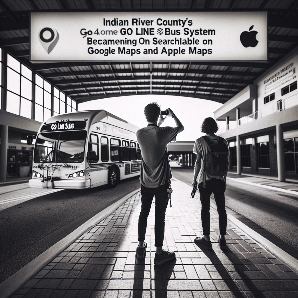
Indian River County's Go Line bus system is now searchable on Google Maps and Apple Maps, county transportation officials told the Technical Advisory Committee on Tuesday. The change could lower one of the most persistent barriers to transit ridership on the Treasure Coast.
For years, residents who wanted to ride the Go Line faced a practical problem: the county's hub-and-spoke route system was difficult to decode without insider knowledge of the schedules. Newcomers to public transit were especially stymied. A trip that required a transfer at the main transit hub often appeared in mapping apps as an hour-long wait with no useful guidance, discouraging riders before they ever stepped onto a bus.
The new system is built on a data standard called the General Transit Feed Specification, or GTFS. It pipes Go Line routes, stops and schedules directly into the mapping applications that most residents already use to navigate their daily lives. A county transportation official named Jared demonstrated the feature Tuesday by pulling up directions from 1801 27th Ave. to the IG Center. The app returned multiple transit options, complete with transfer instructions and estimated travel times.
The presentation was candid about its rough edges. Officials acknowledged they were still working out "a few kinks." The current system offers estimated arrival times rather than live bus positions. Real-time tracking — showing whether a bus is running early or late — is slated as the next addition, officials said.
The committee also heard presentations on two other digital tools: an online project-tracking dashboard displaying roughly 230 active development applications across the county, and an interactive flood-zone map that has grown popular inside the county building department as a more navigable alternative to traditional FEMA flood maps.
The GTFS integration does not require residents to download a new app or create an account. If you can search for directions on your phone, you can now find the Go Line. No implementation timeline or cost figures were presented at Tuesday's meeting. County officials did not say when the real-time tracking feature would be ready for public use.
This article was generated with AI assistance using publicly available information. It was reviewed and approved by a human editor before publication. TC Sentinel uses AI writing tools in accordance with FTC guidelines.
Got a tip?
See something newsworthy? Help us cover the Treasure Coast.
Your identity is never published without your permission.
Comments
Be the first to comment.