Rain Likely Friday and Sunday, Brief Saturday Break on Treasure Coast
A 70% storm chance closes out Friday before a drier Saturday window — but Sunday brings the weekend's heaviest rain threat at 80%
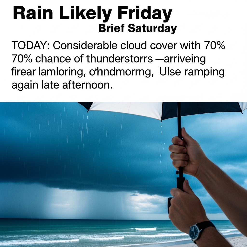
TODAY: Considerable cloud cover with a 70% chance of showers and thunderstorms — arriving first near midmorning, then ramping up again late afternoon and toward sunset. Highs in the upper 80s. Winds shift from northwest at 5 to 10 mph to easterly by evening, the National Weather Service said.
That wind flip is worth watching: an onshore east turn near sunset typically pushes sea-breeze storms inland, but late-day convection can still catch boaters and beachgoers off guard. Clear out early or wait until after 6 p.m.
TONIGHT: Partly cloudy with a lingering 30% chance of showers and thunderstorms during the late evening and early morning hours. Lows in the mid-70s. Southwest winds around 5 mph shifting west after midnight, National Weather Service forecasters said.
THIS WEEK: Saturday offers the driest window of the holiday weekend — only a 40% storm chance concentrated late afternoon — with upper-80s highs and light west winds at 5 to 10 mph. That's your boat day, your beach day, your concrete pour. Take it. Sunday erases the reprieve: an 80% rain chance returns with highs climbing near 90. Winds turn south by late afternoon, fueling the classic sea-breeze storm cycle that marks the Treasure Coast's early rainy season.
ON THE WATER: Light west winds at 5 to 10 mph Saturday mean a relatively calm inshore surface — wave heights should stay manageable inside the inlet. The southerly wind pivot Sunday afternoon will steepen chop quickly. If you're running offshore Sunday, plan to be back at the dock no later than 1 p.m. Saturday morning is the cleaner fishing window; target the first two hours after sunrise when light winds hold before any sea breeze develops. Snook are staging near passes ahead of their June spawn — work the shadow line along the Stuart Causeway or the Fort Pierce Inlet jetty rocks on an incoming tide with live pilchards or a white DOA Shrimp.
ALERTS: No active National Weather Service watches, warnings or advisories are in effect for Martin, St. Lucie or Indian River counties at time of publication. Monitor NWS Melbourne (forecast.weather.gov) for updates as Sunday's storm pattern develops.
This article was generated with AI assistance using publicly available information. It was reviewed and approved by a human editor before publication. TC Sentinel uses AI writing tools in accordance with FTC guidelines.
Got a tip?
See something newsworthy? Help us cover the Treasure Coast.
Your identity is never published without your permission.

Comments
Be the first to comment.