
Storms Disrupt Easter Sunday Across Treasure Coast
Calm mornings at Sebastian Inlet turn to afternoon showers and thunderstorms with mid-80s highs, as shifting winds bring rougher seas for boaters starting Monday.
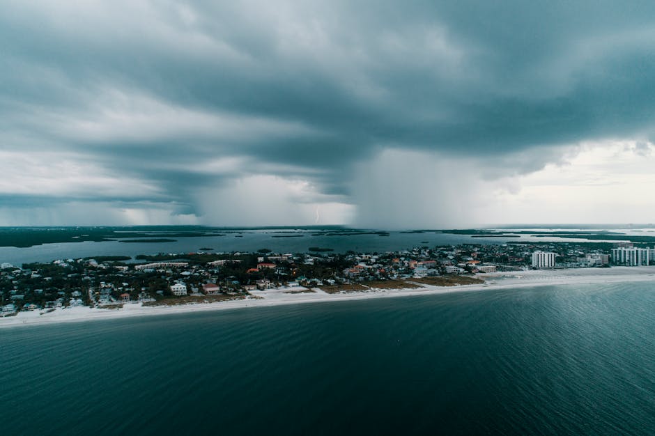
At Sebastian Inlet Sunday morning, the water is calm enough to fool you. That changes by afternoon.
A gradual buildup of clouds and moisture will push a 30% chance of showers and thunderstorms onto the Treasure Coast by late morning, with another round possible near sunset as southwest winds shift east, the National Weather Service said. Highs reach the mid-80s — warm, but the humidity will do most of the talking.
TODAY: Partly cloudy early, then considerable cloudiness by afternoon. Scattered showers and a slight chance of thunderstorms late morning and again near sunset. High in the mid-80s. 30% chance of rain. Families eyeing an Easter afternoon cookout should keep the radar handy; the back half of the day carries the real risk.
TONIGHT: Mostly cloudy with showers and thunderstorms possible, especially after midnight as a front pushes through. Low in the lower 70s. South winds around five mph veer north 10 to 15 mph after midnight. Rain chance climbs to 40%. Anglers planning a pre-dawn Monday run should expect a wet, bumpy departure.
THIS WEEK: Monday is where conditions tighten. Showers become likely by afternoon — 60% chance — with northeast winds building to 15 to 20 mph by evening. Highs hold in the upper 70s, but the drop from Sunday's mid-80s is noticeable. Contractors counting on a Monday pour should plan for disruption. Monday night turns windy, with northeast gusts 20 to 25 mph before easing after midnight. Tuesday offers partly sunny skies and highs again in the upper 70s, though a breezy 15 to 20 mph northeast wind will keep conditions lively through at least midweek, according to National Weather Service data.
ON THE WATER: Sunday's southwest winds of five to 10 mph make for manageable inshore conditions through early afternoon — the best fishing window of the day. As winds clock east by sunset and the frontal boundary approaches overnight, seas will build. By Monday, northeast winds at 15 to 20 mph will rough up the nearshore corridor and push wave heights higher. Offshore trips Monday are not advisable for smaller vessels. Tuesday's persistent northeast flow continues to favor inlet fishing over open-water runs.
ALERTS: No active National Weather Service watches, warnings, or advisories are in effect for Martin, St. Lucie, or Indian River counties as of Sunday morning. Monitor the National Weather Service Miami office for updates as the frontal system approaches overnight.
This article was generated with AI assistance using publicly available information. It was reviewed and approved by a human editor before publication. TC Sentinel uses AI writing tools in accordance with FTC guidelines.
Got a tip?
See something newsworthy? Help us cover the Treasure Coast.
Your identity is never published without your permission.

Comments
Be the first to comment.