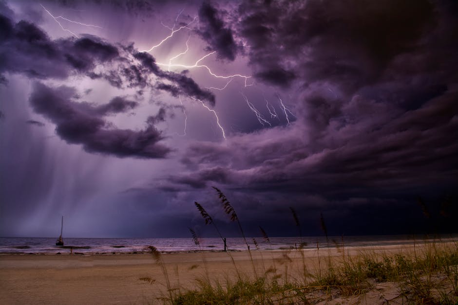
Thunderstorms to Soak Treasure Coast Sunday Before Plunging Temps Hit Mid-60s
Residents in Martin, St. Lucie and Indian River counties face gusty winds and heavy rain with a 70% chance today, followed by a sharp cooldown starting Monday.
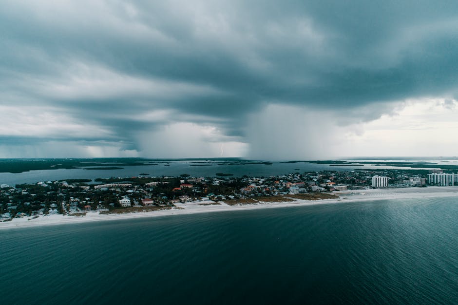
Showers hit Saturday with a 60% chance, building into a wet pattern that threatens boat outings and beach days in Martin, St. Lucie and Indian River counties.
Anglers in St. Lucie County can capitalize on strong morning tidal movement before a midday low of 0.5 feet drains the flats.
A polar vortex chills the Midwest while a heat dome scorches the Southwest, with forecasters warning amplified jet stream patterns could bring unstable conditions to Martin, St. Lucie and Indian River counties.
Martin County anglers, boaters and beachgoers can plan outings around the mixed tidal pattern, with the final low hitting late and overnight temps in the mid-60s.
The 10:24 a.m. drop provides prime conditions for local anglers and beachcombers, following a 2.3-foot high at 4:08 a.m. and preceding a 1.9-foot high at 4:15 p.m.
Treasure Coast residents brace for 60% rain chances Saturday and Sunday, with thunderstorms targeting late morning and afternoon hours for boaters and beachgoers.
Anglers score a prime incoming tide for fishing after the 9:56 a.m. low of 0.6 feet, with afternoon high reaching 1.8 feet.
Anglers in Martin County can target snook along St. Lucie River shallows during 0.7-foot low at 9:44 a.m. and 0.4-foot low at 9:47 p.m.